Sept 1 – Nov 30
62nd Annual FALL HIKING SPREE
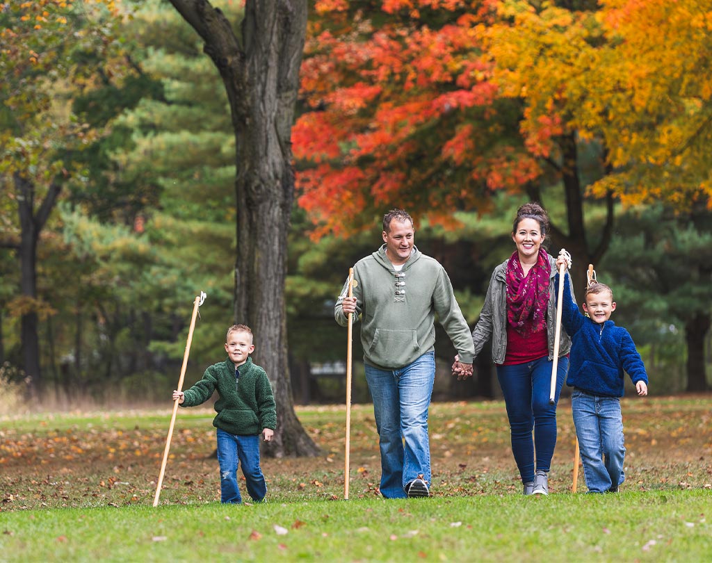
Explore the trails while enjoying fall colors, September 1 through November 30! First-year hikers earn a hiking staff and shield. Returning hikers earn the shield. Spree rewards are FREE to Summit County residents. Out-of-county residents pay to receive their hiking rewards ($10 for first-year hikers, $5 for returning hikers).
TO PARTICIPATE:
- Sign up below.
- Download your participant form.
- Complete at least eight different designated trails (may include one Hiker’s Choice) between September 1 and November 30 to receive rewards.
- Update your form as you hike your chosen trails.
- When you’ve completed a minimum of eight trails, stop by or send us the form to receive your rewards (see below for details).
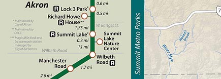
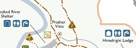
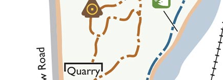
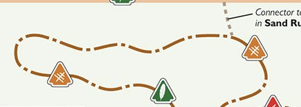
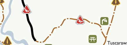
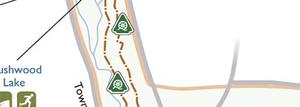
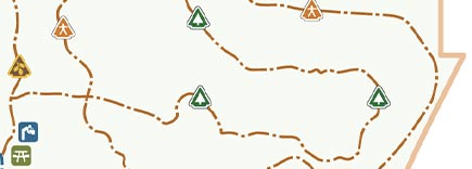
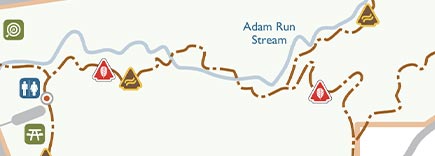
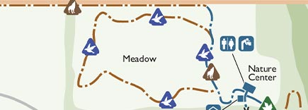
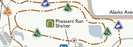
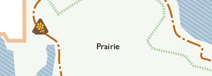
FALL HIKING SPREE TRAILS
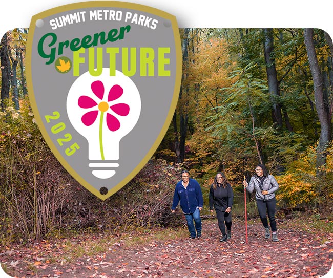
This year’s Fall Hiking Spree theme is Greener Future. Summit Metro Parks encourages our community to join us in small changes that reduce waste, conserve energy and support a thriving local ecosystem to benefit native wildlife and our community. Read about the four areas of the theme below and find signs at the beginning of each hiking spree trail to discover more.
Please visit our Alerts page before you hike to see if any closures or other alerts may affect your visit. If you are living with a disability and need a special accommodation for completing the Fall Hiking Spree, please contact us.


Shop
Get your 2025 Fall Hiking Spree t-shirt – while supplies last!


GET REWARDED
Hike eight or more trails to receive hiking rewards!
RECEIVE YOUR REWARDS
Rewards are free for Summit County residents. Out-of-county residents pay for their spree rewards ($5 per shield and $10 for first-year hikers receiving a hiking staff and shield).
Each year you participate, you’ll receive a new shield to add to your staff. Watch our video for tips on attaching your shield to your staff!
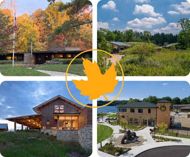
AWARDS PICK-UP LOCATIONS
Nature centers are open Wed.–Sat. 10am–5pm, Sun. 12–5pm. The administrative offices are open Mon.–Fri. 8am–4:30pm.
SHIELD ASSISTANCE DATES
Need help attaching your shield to your hiking staff? Volunteers will be available to assist you on the following dates:
Liberty Park Nature Center
- October 19, 1–3 p.m.
Summit Lake Nature Center
- November 2, 1–3 p.m.
Goodyear Heights Metro Park Lodge
- December 7, 1–3 p.m.
F.A. Seiberling Nature Realm Visitors Center
- November 8, 1–3 p.m.
- November 15, 1–3 p.m.
- November 22, 1–3 p.m.
- November 29, 1–3 p.m.
- January 11, 1-3 p.m.
- February 15, 1-3 p.m.
- March 29, 1-3 p.m.
SIGN UP!
Download your form and sign up for this event!
ALREADY SIGNED UP AND NEED ANOTHER FORM?

#SMPSPREE
Use our hashtag to share your accomplishments!